THE MACH LOOP – WALES Nr. Dolgellau
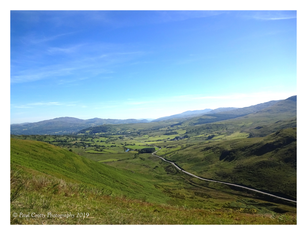
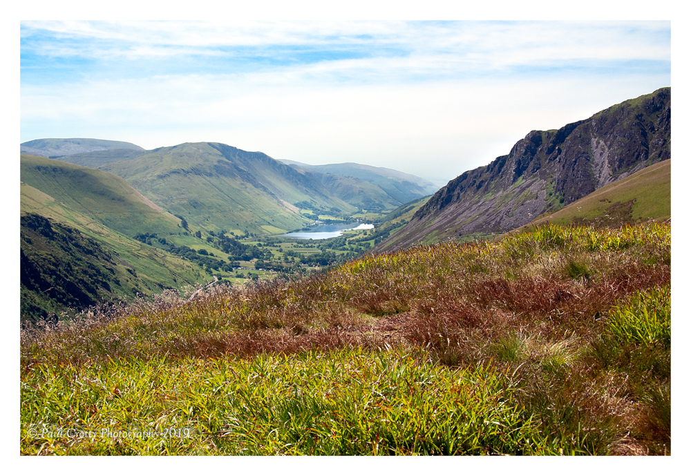
Aircraft approach from this direction
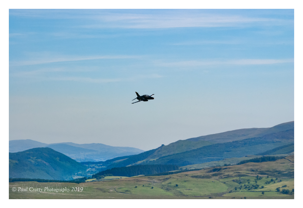
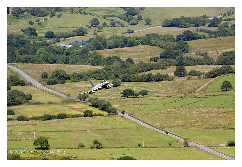
This shot is taken from Cad West looking down the valley.
The planes track through this and will either climb out or turn left into the next valley.
Operational low flying training
The UK is divided into 20 separate low flying areas (LFAs). 3 of these areas are also known as Tactical Training Areas (TTAs). These are in:
- a small area of mid Wales
- part of northern Scotland
- the borders area of southern Scotland and a small part of northern England
TTAs are activated at specific times throughout each day and when a TTA is active, fixed wing aircraft can fly as low as 100 feet AGL. This is not the case with routine low flying training, which is conducted across the UK on a daily basis. Outside the published TTA times the airspace is classed as a normal low flying area where fixed wing aircraft routinely fly at a minimum height of 250 feet AGL and helicopters are authorised down to ground level.
The MOD publishes a monthly Operational low flying training timetable for the 3 TTAs.
The MOD is unable to provide a timetable for all low flying activity as the information can very quickly become outdated due to weather conditions and training requirements.
– I visited the area in mid wales in June 2018 and choose to place myself at Cad West.
Prior to my trip I used this great website to learn about the area. https://machloop.co.uk/
I arrived at about 8.00 am and already there were cars in the lay-by and the occupants heading up the hill. You will hear/read different stories about the climb (if you go to the top, to be above the aircraft) I was 66 at the time with a mild heart condition. Whilst I made the climb it is not easy, still, you have lots of time and can take as many rests as you wish.
Once at the top I found a place to sit (and wait).
I was lucky I choose a day that was almost the hottest day of the year.
On mountain sides the weather can change quickly and dramatically if you ever go walking or otherwise in mountain areas be prepared, have the correct clothing, water, food and first aid kit. I have experienced being on a mountain walking in sunny conditions, warm enough to have just a T-shirt on ( layers and jacket in the rucksack) , within minutes it was snowing and very cold. Incredibly I have seen people at the top of Scafell and Snowdon with no rucksacks, and wearing totally in appropriate clothing.
Anyway, on this day weather change was not the problem just lots of suncream, cover and water needed. Try to identify those that seem to know when planes are coming or listen for the shout! Even knowing that something is approaching may not be enough, they are sometimes very difficult to spot especially if the are low. There is no fixed approach and planes can come from various points in front of you. Also if you are not used to taking moving objects then get some practice before you go. Look at the website above. The opening video is shot from where I was positioned and clearly shows the speed that the planes pass by.
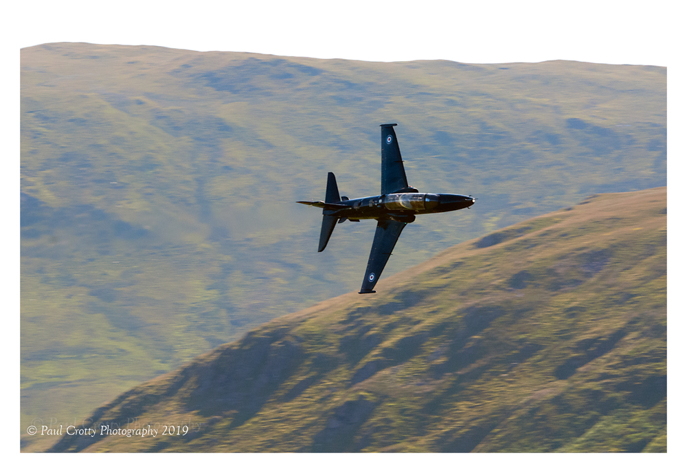
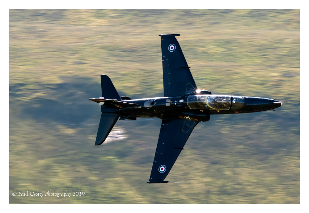
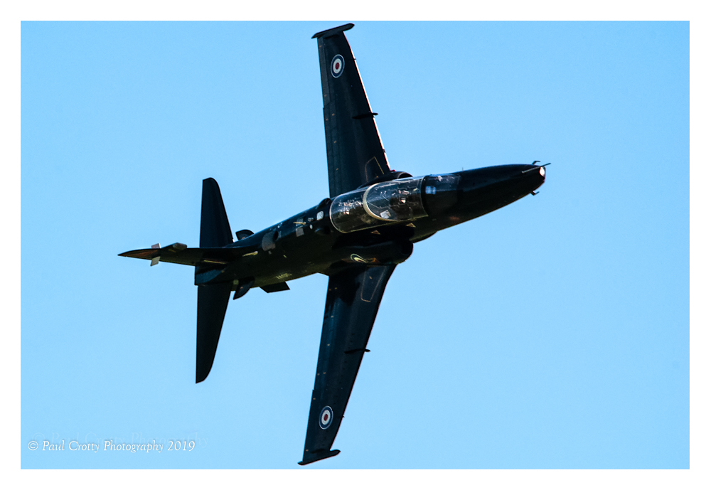
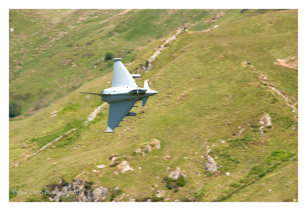
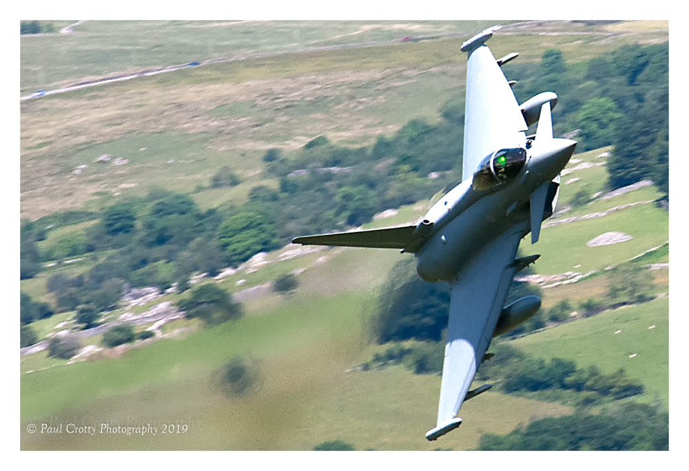
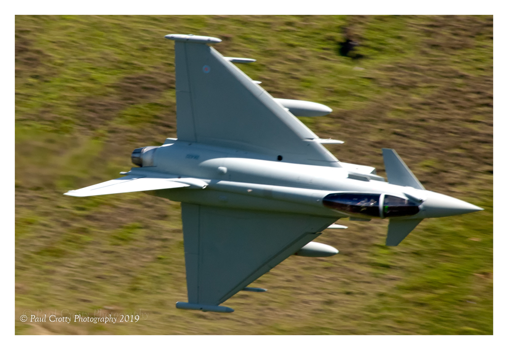
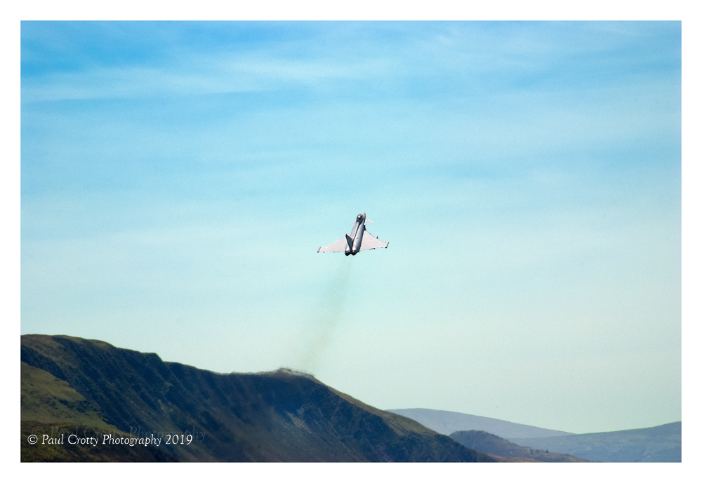
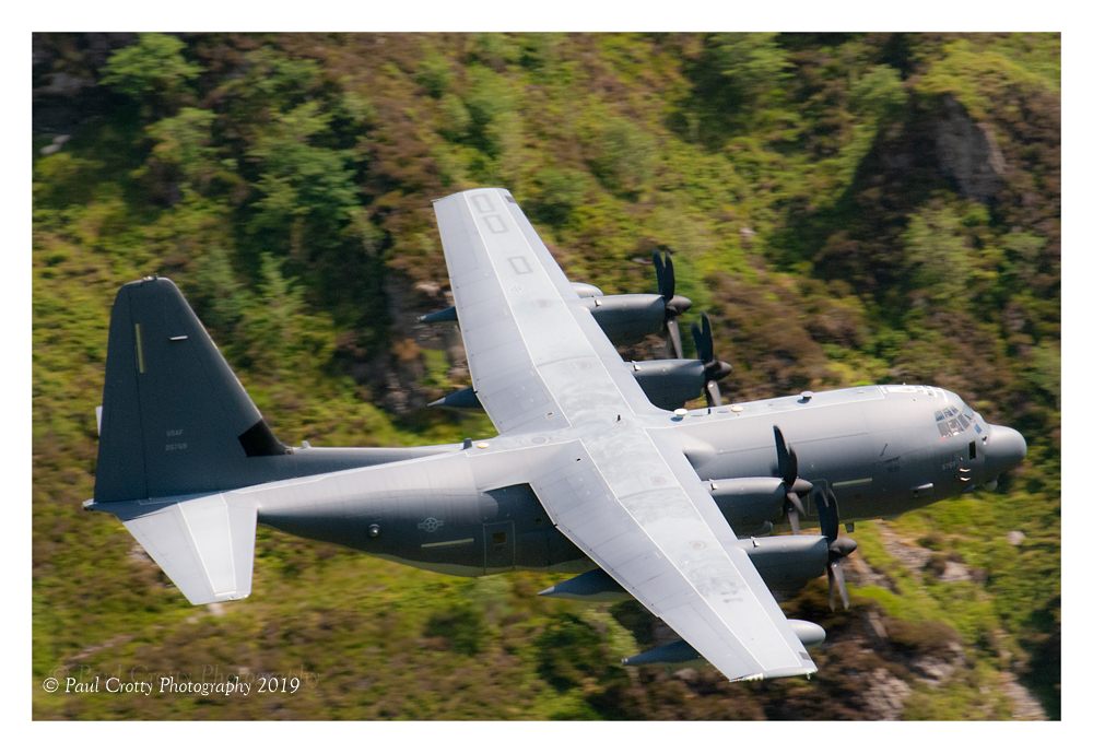
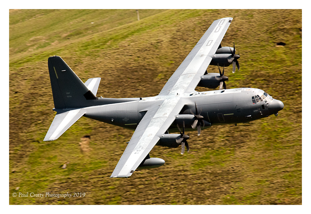
On my day it was not busy, I have heard that it can be. First to come through was a Hawk from RAF Valley, It made two passes. Later another Hawk, then sometime after that a C-130 STRIX. at about 2.30 I decided to pack up and head for my hotel up in Snowdonia, one of the others there advised me to stay a while a Typhoon was booked to come. I did stay and it did arrive spot on time, it made 2 passes, on the first it climbed out (see image) but went around for another pass.
It was now about 4.00pm I slowly made my way down back to the car park.
In all a good day and some good memories and images (see below)
I planned to walk up Snowdon on day 2 but it was too hot, it reached 33 degrees that day so I walked around the lake and along the river.
Camera Nikon D80 with Sigma 150-500mm lens. I have since upgraded to a Nikon D7200 and the images would have been much better with the new camera.
